
An innovative suite for the integrated management and analysis of real estate data.
Our Protos+ Suite is not just a modular application, but an integrated solution for managing and analyzing real estate big data.
A proprietary technology platform developed by the Group to leverage the wealth of data collected over more than 40 years of operations. This platform, developed by our engineers, interfaces with numerous external databases, providing a single stream of information on the characteristics, constraints, and risks of real estate assets, with a view toward both large-scale data remediation and data monitoring.
With advanced analysis and reporting features, the Protos+ Suite delivers strategic insights for businesses and financial institutions seeking cutting-edge solutions to optimize real estate asset management, identify opportunities in the renewable energy sector, and address challenges related to sustainability and energy efficiency.
RE+ Module
Keeps the cadastral database up to date and geolocates real estate properties, making it possible to value assets through automated processes and monitor the market value of entire portfolios.
Risk+ Module
Assesses physical and climate change risks, quantifying potential economic losses.
Solar+ Module
Analyzes large real estate portfolios and assesses the feasibility of large-scale photovoltaic installations, taking into account landscape and environmental constraints.
We are able to trace the real estate of any legal entity, geolocating and analyzing it in every detail with the help of AI.

We are able to trace the real estate of any legal entity, geolocating and analyzing it in every detail with the help of AI.
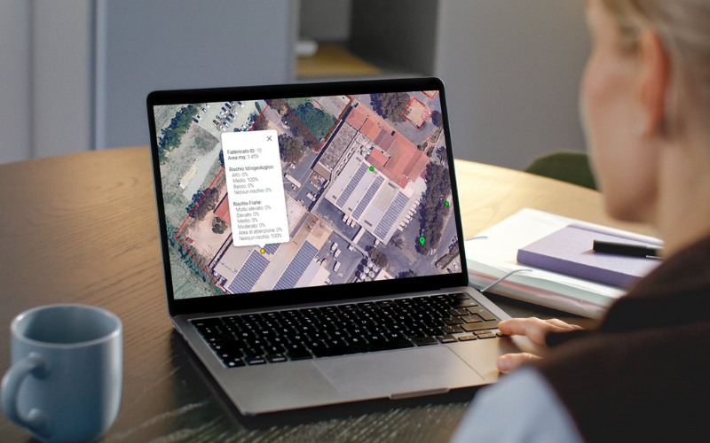
We investigate the physical risks on the entire Italian building stock, providing an even quantitative assessment of the potential economic loss associated with the occurrence of events of a certain severity.
We investigate the physical risks on the entire Italian building stock, providing an even quantitative assessment of the potential economic loss associated with the occurrence of events of a certain severity.
We automatically explore the environmental and cultural constraints insisting on any area of Italian territory.
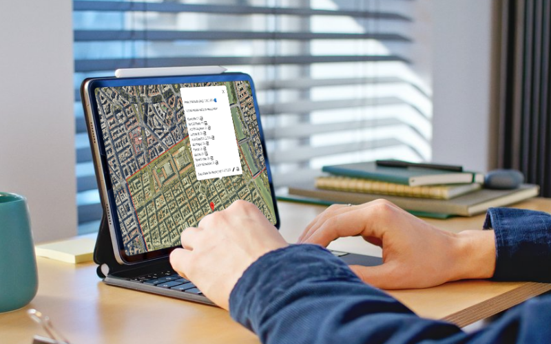
We automatically explore the environmental and cultural constraints insisting on any area of Italian territory.

Starting from any cadastral plot, we geolocate all parcels and automatically envelope them into a single map.
Starting from any cadastral plot, we geolocate all parcels and automatically envelope them into a single map.
We automatically estimate the photovoltaic potential of any roof or portion of a building, taking into account obstacles, local shading effects, and the actual pitch of each roof slope.

We automatically estimate the photovoltaic potential of any roof or portion of a building, taking into account obstacles, local shading effects, and the actual pitch of each roof slope.